Geolocate

Badger topographic map

Click on the map to display elevation.

About this map

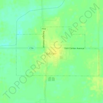
Name: Badger topographic map, elevation, terrain.

Location: Badger, Badger Township, Webster County, Iowa, United States (42.60852 -94.15878 42.62143 -94.12922)

Average elevation: 345 m

Minimum elevation: 335 m

Maximum elevation: 354 m

Other topographic maps

Click on a map to view its topography, its elevation and its terrain.

Tara

United States > Iowa > Webster County

Average elevation: 347 m

Fort Dodge

United States > Iowa > Webster County > Fort Dodge > Fort Dodge

Average elevation: 344 m

Gear up for your next adventure:

🛌Down Sleeping Bag - Superior warmth-to-weight ratio for cold nights
🧢Sun Hat - Wide-brim hat for sun protection
🏃Hydration Running Vest - Carry water and maps close to your body for speed
Lightweight Backpacking Tent - Compact tent for efficient hiking trips
🧦Merino Wool Socks - Moisture-wicking comfort for long-distance hiking

As an Amazon Associate, this site earns from qualifying purchases at no extra cost to you.