
Fogarasch topographic map
Interactive map
Click on the map to display elevation.
About this map
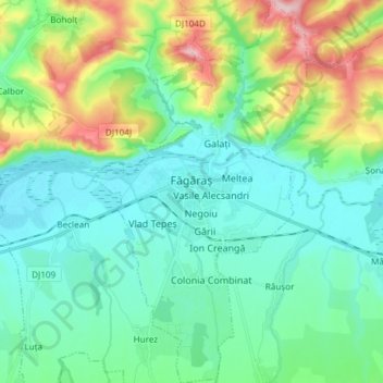
Name: Fogarasch topographic map, elevation, terrain.
Location: Fogarasch, Kronstadt, 505200, Rumänien (45.78970 24.93145 45.89365 25.01867)
Average elevation: 476 m
Minimum elevation: 418 m
Maximum elevation: 652 m
Other topographic maps
Click on a map to view its topography, its elevation and its terrain.