
Königsstein topographic map
Interactive map
Click on the map to display elevation.
About this map
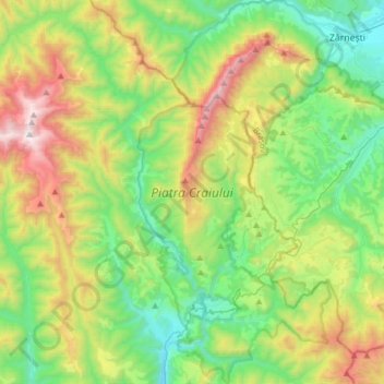
Name: Königsstein topographic map, elevation, terrain.
Location: Königsstein, Kronstadt, Rumänien (45.36468 25.14775 45.58027 25.36329)
Average elevation: 1,210 m
Minimum elevation: 663 m
Maximum elevation: 2,376 m
Other topographic maps
Click on a map to view its topography, its elevation and its terrain.