

Gifford topographic map
Click on the map to display elevation.
About this map
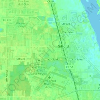
Name: Gifford topographic map, elevation, terrain.
Location: Gifford, Indian River County, Florida, 34960, United States (27.64935 -80.44658 27.69662 -80.38086)
Average elevation: 7 m
Minimum elevation: -1 m
Maximum elevation: 14 m
Other topographic maps
Click on a map to view its topography, its elevation and its terrain.

Vero Beach
United States > Florida > Indian River County > Vero Beach > Vero Beach
Average elevation: 7 m


