
Baginton topographic map
Click on the map to display elevation.
About this map
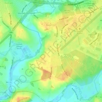
Name: Baginton topographic map, elevation, terrain.
Location: Baginton, Warwick, Warwickshire, England, United Kingdom (52.34917 -1.50926 52.37781 -1.46034)
Average elevation: 74 m
Minimum elevation: 57 m
Maximum elevation: 92 m
Other topographic maps
Click on a map to view its topography, its elevation and its terrain.
Rowington Green
United Kingdom > England > Warwickshire > Warwick > Rowington
Average elevation: 114 m
Hampton on the Hill
United Kingdom > England > Warwickshire > Warwick > Hampton on the Hill
Average elevation: 75 m