
Rural Municipality of Minto - Odanah topographic map
Interactive map
Click on the map to display elevation.
About this map
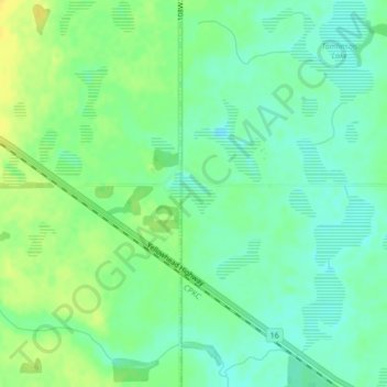
Name: Rural Municipality of Minto - Odanah topographic map, elevation, terrain.
Average elevation: 587 m
Minimum elevation: 577 m
Maximum elevation: 600 m
Division No. 15 trails, hiking, mountain biking, running and outdoor activities
Other topographic maps
Click on a map to view its topography, its elevation and its terrain.
Elphinstone
Canada > Manitoba > Division No. 15 > Rural Municipality of Yellowhead
Average elevation: 583 m
Rural Municipality of Rosedale
Canada > Manitoba > Division No. 15 > Rural Municipality of Rosedale
Average elevation: 484 m