
Penrith topographic map
Click on the map to display elevation.
About this map
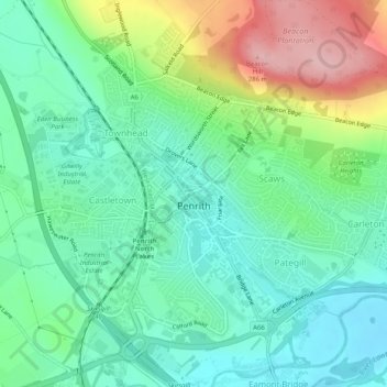
Name: Penrith topographic map, elevation, terrain.
Location: Penrith, Westmorland and Furness, England, United Kingdom (54.65342 -2.77499 54.67623 -2.72425)
Average elevation: 164 m
Minimum elevation: 108 m
Maximum elevation: 281 m
Other topographic maps
Click on a map to view its topography, its elevation and its terrain.