Geolocate

Grayson topographic map

Click on the map to display elevation.

About this map

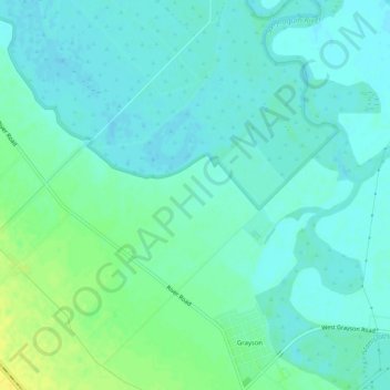
Name: Grayson topographic map, elevation, terrain.

Location: Grayson, Stanislaus County, California, United States (37.55883 -121.20605 37.59930 -121.16715)

Average elevation: 14 m

Minimum elevation: 8 m

Maximum elevation: 29 m

Other topographic maps

Click on a map to view its topography, its elevation and its terrain.

Modesto

United States > California > Stanislaus County

Average elevation: 26 m

Ceres

United States > California > Stanislaus County > Ceres

Average elevation: 28 m

Gear up for your next adventure:

🧦Hiking Socks - Moisture-wicking and comfortable socks for long hikes
🔭Outdoor Binoculars - Lightweight binoculars for birdwatching and hiking
🧥Waterproof Pants - Keep dry during rainy hiking conditions
🎒Fully Waterproof Backpack - Total protection for photography gear and electronics
🧭Orienteering Kit - Tools for map reading and navigation in the wild

As an Amazon Associate, this site earns from qualifying purchases at no extra cost to you.