Geolocate

Modesto topographic map

Click on the map to display elevation.

About this map

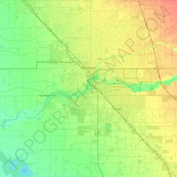
Name: Modesto topographic map, elevation, terrain.

Location: Modesto, Stanislaus County, California, United States (37.52193 -121.09647 37.71144 -120.90124)

Average elevation: 26 m

Minimum elevation: 7 m

Maximum elevation: 48 m

Other topographic maps

Click on a map to view its topography, its elevation and its terrain.

Grayson

United States > California > Stanislaus County

Average elevation: 14 m

Gear up for your next adventure:

🧭GPS Outdoor Watch - Smart watch for navigation and fitness tracking in nature
🔭Outdoor Binoculars - Lightweight binoculars for birdwatching and hiking
🚲MTB Frame Bag - Carry tools and maps directly on your bicycle frame
🛌Down Sleeping Bag - Superior warmth-to-weight ratio for cold nights
🥾Mountain Hiking Shoes - Shoes with superior grip for mountainous terrain

As an Amazon Associate, this site earns from qualifying purchases at no extra cost to you.