
Ceres topographic map
Click on the map to display elevation.
About this map
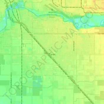
Name: Ceres topographic map, elevation, terrain.
Location: Ceres, Stanislaus County, California, United States (37.57321 -120.99367 37.62132 -120.92046)
Average elevation: 28 m
Minimum elevation: 16 m
Maximum elevation: 36 m