Geolocate

Faillie topographic map

Click on the map to display elevation.

About this map

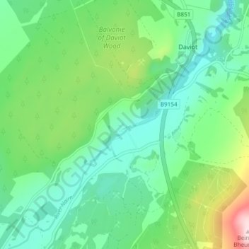
Name: Faillie topographic map, elevation, terrain.

Location: Faillie, Daviot, Highland, Scotland, IV2 6XN, United Kingdom (57.39487 -4.16681 57.43487 -4.12681)

Average elevation: 228 m

Minimum elevation: 134 m

Maximum elevation: 481 m

Gear up for your next adventure:

🛶Kayak Accessories - Essential gear for safe and fun kayaking adventures
🪜Heavy Duty Carabiners - Multi-use clips for securing gear to your backpack
🥾Lightweight Hiking Boots - Boots for comfort and mobility on long hikes
🥾Approach Boots - Comfortable boots for hiking and climbing approaches
🥾Hiking Shoes - Durable and comfortable shoes for trail hiking

As an Amazon Associate, this site earns from qualifying purchases at no extra cost to you.