
Bremner topographic map
Click on the map to display elevation.
About this map
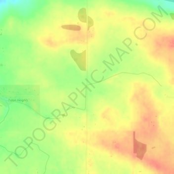
Name: Bremner topographic map, elevation, terrain.
Location: Bremner, Strathcona County, Alberta, T8E 2M4, Canada (53.57453 -113.20691 53.59453 -113.18691)
Average elevation: 688 m
Minimum elevation: 658 m
Maximum elevation: 707 m
Strathcona County trails, hiking, mountain biking, running and outdoor activities
Other topographic maps
Click on a map to view its topography, its elevation and its terrain.
Hamlet of Josephburg
Canada > Alberta > Strathcona County > Hamlet of Josephburg
Average elevation: 639 m