Hamlet of Josephburg topographic map
Interactive map
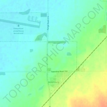
Click on the map to display elevation.
About this map
Name: Hamlet of Josephburg topographic map, elevation, terrain.
Average elevation: 639 m
Minimum elevation: 626 m
Maximum elevation: 665 m

Click on the map to display elevation.
Name: Hamlet of Josephburg topographic map, elevation, terrain.
Average elevation: 639 m
Minimum elevation: 626 m
Maximum elevation: 665 m