Geolocate

Deanbank topographic map

Click on the map to display elevation.

About this map

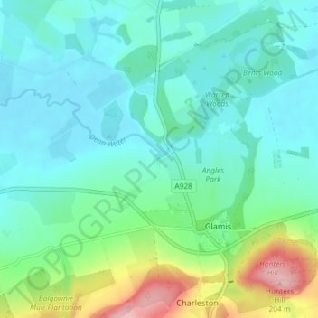
Name: Deanbank topographic map, elevation, terrain.

Location: Deanbank, Glamis, Angus, Scotland, DD8 1QG, United Kingdom (56.59674 -3.03687 56.63674 -2.99687)

Average elevation: 83 m

Minimum elevation: 48 m

Maximum elevation: 205 m

Gear up for your next adventure:

🧴First Aid Kit - Essential first aid supplies for outdoor emergencies
Bushcraft Tarp - Versatile emergency shelter or gear protection
🥾Light Hiking Boots - Lightweight and comfortable boots for day hikes
🧰Emergency Multi-Tool - Compact multi-tool for outdoor survival
🧢Beanie Hat - Keep your head warm in cold weather

As an Amazon Associate, this site earns from qualifying purchases at no extra cost to you.