Geolocate

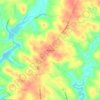
Williamston topographic map

Click on the map to display elevation.

About this map
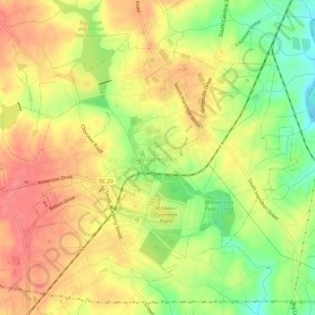
Name: Williamston topographic map, elevation, terrain.

Location: Williamston, Anderson County, South Carolina, United States (34.60241 -82.50574 34.63498 -82.45550)

Average elevation: 251 m

Minimum elevation: 212 m

Maximum elevation: 279 m

Other topographic maps

Click on a map to view its topography, its elevation and its terrain.
Starr

United States > South Carolina > Anderson County

Average elevation: 227 m

Gear up for your next adventure:

🧥Insulated Jacket - Keep warm in cold outdoor conditions
🚲Handlebar Phone Mount - View topographic-map.com live while cycling
🧰Multitool Knife - Compact and versatile tool for outdoor use
🥫Freeze-Dried Meals - Lightweight, high-calorie nutrition for multi-day treks
🩹Moleskin Blister Pads - Direct protection for painful foot pressure points

As an Amazon Associate, this site earns from qualifying purchases at no extra cost to you.