
Río Sechín topographic map
Interactive map
Click on the map to display elevation.
About this map
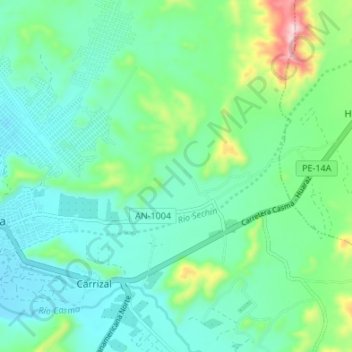
Name: Río Sechín topographic map, elevation, terrain.
Location: Río Sechín, Casma, Áncash, Perú (-9.48537 -78.30079 -9.44456 -78.23340)
Average elevation: 121 m
Minimum elevation: 42 m
Maximum elevation: 394 m
Other topographic maps
Click on a map to view its topography, its elevation and its terrain.
Santa Matilde
Perú > Áncash > Casma > San Francisco
Santa Matilde, San Francisco, Casma, Áncash, Perú
Average elevation: 139 m