
Trollstigen topographic map
Interactive map
Click on the map to display elevation.
About this map
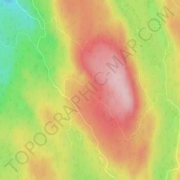
Name: Trollstigen topographic map, elevation, terrain.
Location: Trollstigen, Søndre Land, Innlandet, Noorwegen (60.59064 10.40526 60.59074 10.40536)
Average elevation: 459 m
Minimum elevation: 328 m
Maximum elevation: 559 m
Other topographic maps
Click on a map to view its topography, its elevation and its terrain.