
Alvdal topographic map
Interactive map
Click on the map to display elevation.
About this map
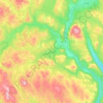
Name: Alvdal topographic map, elevation, terrain.
Location: Alvdal, Innlandet, 2560, Noorwegen (61.91329 10.12207 62.27982 10.93275)
Average elevation: 891 m
Minimum elevation: 392 m
Maximum elevation: 1,822 m
Other topographic maps
Click on a map to view its topography, its elevation and its terrain.