
Gran topographic map
Interactive map
Click on the map to display elevation.
About this map
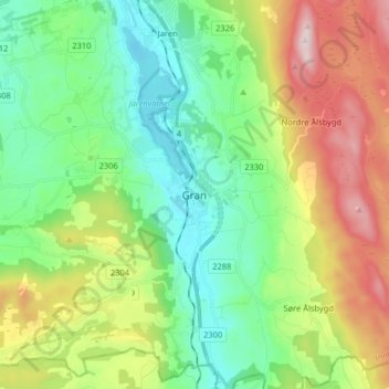
Name: Gran topographic map, elevation, terrain.
Location: Gran, Innlandet, 2750, Noorwegen (60.31913 10.53284 60.39913 10.61284)
Average elevation: 379 m
Minimum elevation: 191 m
Maximum elevation: 758 m
Other topographic maps
Click on a map to view its topography, its elevation and its terrain.