Geolocate

Bonnie Lake topographic map

Click on the map to display elevation.

About this map

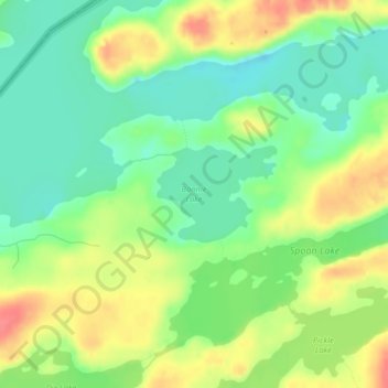
Name: Bonnie Lake topographic map, elevation, terrain.

Location: Bonnie Lake, Lake County, Minnesota, United States (48.08137 -91.22386 48.08815 -91.21131)

Average elevation: 437 m

Minimum elevation: 409 m

Maximum elevation: 475 m

Other topographic maps

Click on a map to view its topography, its elevation and its terrain.

Alice Lake

United States > Minnesota > Lake County

Average elevation: 474 m

Isabella

United States > Minnesota > Lake County > Isabella

Average elevation: 594 m

Link Lake

United States > Minnesota > Lake County

Average elevation: 452 m

Makwa Lake

United States > Minnesota > Lake County

Average elevation: 509 m

Cook Lake

United States > Minnesota > Lake County

Average elevation: 534 m

Raven Lake

United States > Minnesota > Lake County

Average elevation: 507 m

Gear up for your next adventure:

🩹Moleskin Blister Pads - Direct protection for painful foot pressure points
🗺️Topographic Maps - Detailed maps to explore trails, mountains, and wilderness areas
🪑Ultralight Camping Stool - Compact seating for rest stops during long hikes
🥾Waterproof Hiking Boots - Essential footwear for rugged terrain and wet Canadian trails
🦯Trekking Poles - Reduced impact on joints for steep topographic climbs

As an Amazon Associate, this site earns from qualifying purchases at no extra cost to you.