Geolocate

Isabella topographic map

Click on the map to display elevation.

About this map

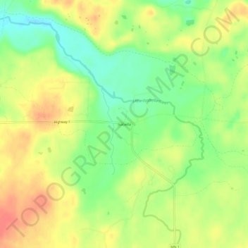
Name: Isabella topographic map, elevation, terrain.

Location: Isabella, Lake County, Minnesota, United States (47.59713 -91.37487 47.63713 -91.33487)

Average elevation: 594 m

Minimum elevation: 566 m

Maximum elevation: 619 m

Gear up for your next adventure:

🧤Rechargeable Heated Gloves - Extreme warmth for Canadian winter expeditions
🥾Approach Shoes - Shoes designed for climbing approaches and rugged trails
🌬️Windproof Camp Stove - Efficient cooking even on exposed mountain peaks
🔭Compact Binoculars - Lightweight optics for scouting trails and wildlife
👟Sport Hiking Sandals - Breathable footwear for water crossings and camp rest

As an Amazon Associate, this site earns from qualifying purchases at no extra cost to you.