

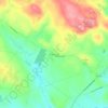
Salisbury topographic map
Click on the map to display elevation.
About this map
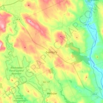
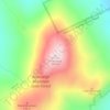
Name: Salisbury topographic map, elevation, terrain.
Average elevation: 194 m
Minimum elevation: 75 m
Maximum elevation: 368 m
Other topographic maps
Click on a map to view its topography, its elevation and its terrain.


Catamount Mountain
United States > New Hampshire > Merrimack County > Pittsfield
Average elevation: 281 m


Concord Manor
United States > New Hampshire > Merrimack County > Concord > Penacook
Average elevation: 102 m




Rings Corner
United States > New Hampshire > Merrimack County > Pittsfield > Rings Corner
Average elevation: 190 m