Geolocate

Amboy topographic map

Click on the map to display elevation.

About this map

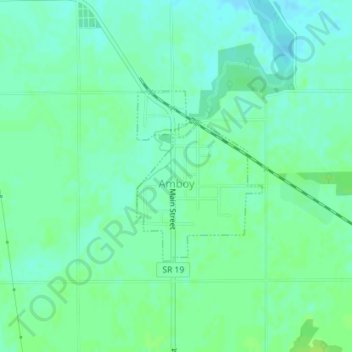
Name: Amboy topographic map, elevation, terrain.

Location: Amboy, Miami County, Indiana, United States (40.59545 -85.93291 40.60852 -85.92020)

Average elevation: 251 m

Minimum elevation: 245 m

Maximum elevation: 256 m

Other topographic maps

Click on a map to view its topography, its elevation and its terrain.

Loree

United States > Indiana > Miami County

Average elevation: 246 m

Ridgeview

United States > Indiana > Miami County > Peru

Average elevation: 205 m

Gear up for your next adventure:

🦌Outdoor Trail Camera - Monitor wildlife activity near your favorite spots
🧭GPS Handheld Device - Reliable GPS navigation for outdoor adventures
💡LED Headlamp - Hands-free illumination for night hiking and camping
🧴Bear Spray Holster - Quick-access carry for essential Canadian wilderness safety
🧰Emergency Multi-Tool - Compact multi-tool for outdoor survival

As an Amazon Associate, this site earns from qualifying purchases at no extra cost to you.