
Ridgeview topographic map
Click on the map to display elevation.
About this map
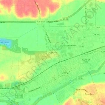
Name: Ridgeview topographic map, elevation, terrain.
Location: Ridgeview, Peru, Miami County, Indiana, 46970, United States (40.74143 -86.09555 40.78143 -86.05555)
Average elevation: 205 m
Minimum elevation: 174 m
Maximum elevation: 239 m
Other topographic maps
Click on a map to view its topography, its elevation and its terrain.