
Devils Thumb topographic map
Click on the map to display elevation.
About this map
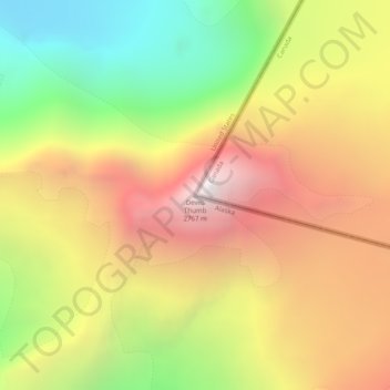
Name: Devils Thumb topographic map, elevation, terrain.
Average elevation: 1,718 m
Minimum elevation: 697 m
Maximum elevation: 2,701 m
Other topographic maps
Click on a map to view its topography, its elevation and its terrain.
Tumeka Lake
Canada > British Columbia > Regional District of Kitimat-Stikine > Area D (Iskut/Big Raven)
Average elevation: 1,382 m
Bob Quinn Lake
Canada > British Columbia > Regional District of Kitimat-Stikine > Area D (Iskut/Big Raven)
Average elevation: 585 m
Ball Creek
Canada > British Columbia > Regional District of Kitimat-Stikine > Area D (Iskut/Big Raven)
Average elevation: 1,228 m
Great Glacier
Canada > British Columbia > Regional District of Kitimat-Stikine > Area D (Iskut/Big Raven)
Average elevation: 866 m
Iskut River
Canada > British Columbia > Regional District of Kitimat-Stikine > Area D (Iskut/Big Raven)
Average elevation: 932 m