
Northern District topographic map
Interactive map
Click on the map to display elevation.
About this map
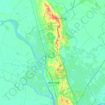
Name: Northern District topographic map, elevation, terrain.
Location: Northern District, Yangon, Myanmar (16.80460 95.99476 17.09075 96.18454)
Average elevation: 8 m
Minimum elevation: -3 m
Maximum elevation: 50 m
Other topographic maps
Click on a map to view its topography, its elevation and its terrain.
Coco Islands
Myanmar > Yangon > Great Coco Island
Coco Islands, Great Coco Island, Yangon, Myanmar
Average elevation: 1 m