
Gribthorpe topographic map
Click on the map to display elevation.
About this map
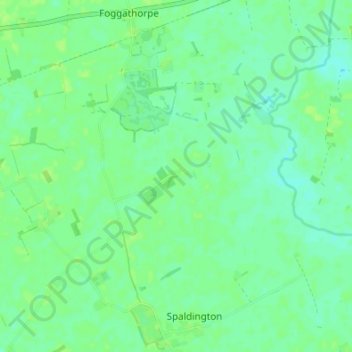
Name: Gribthorpe topographic map, elevation, terrain.
Average elevation: 6 m
Minimum elevation: 0 m
Maximum elevation: 10 m
Other topographic maps
Click on a map to view its topography, its elevation and its terrain.
River Hull
United Kingdom > England > East Riding of Yorkshire > Brandesburton
Average elevation: 28 m
Stamford Bridge
United Kingdom > England > East Riding of Yorkshire > Stamford Bridge
Average elevation: 16 m
Malton Lane Plantation
United Kingdom > England > East Riding of Yorkshire > Bugthorpe
Average elevation: 54 m
Burton Constable Hall
United Kingdom > England > East Riding of Yorkshire > West Newton
Average elevation: 18 m
Willerby and Derringham Flood Alleviation Scheme
United Kingdom > England > East Riding of Yorkshire > Kirk Ella
Average elevation: 42 m
Burton Pidsea
United Kingdom > England > East Riding of Yorkshire > Burton Pidsea
Average elevation: 6 m
Barmby on the Marsh
United Kingdom > England > East Riding of Yorkshire > Barmby on the Marsh
Average elevation: 4 m
Bishop Burton
United Kingdom > England > East Riding of Yorkshire > Bishop Burton
Average elevation: 69 m
Goodmanham
United Kingdom > England > East Riding of Yorkshire > Market Weighton
Average elevation: 87 m