
Gorebridge topographic map
Click on the map to display elevation.
About this map
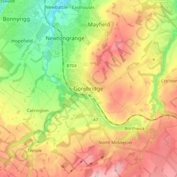
Name: Gorebridge topographic map, elevation, terrain.
Location: Gorebridge, Midlothian, Scotland, EH23 4TR, United Kingdom (55.80355 -3.08784 55.88355 -3.00784)
Average elevation: 171 m
Minimum elevation: 45 m
Maximum elevation: 308 m
Other topographic maps
Click on a map to view its topography, its elevation and its terrain.
Straiton Pond Local Nature Reserve
United Kingdom > Scotland > Midlothian > Loanhead
Average elevation: 131 m