Geolocate

Mugdrum topographic map

Click on the map to display elevation.

About this map

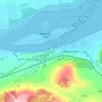
Name: Mugdrum topographic map, elevation, terrain.

Location: Mugdrum, Newburgh, Fife, Scotland, KY14 6EH, United Kingdom (56.33112 -3.27110 56.37112 -3.23110)

Average elevation: 51 m

Minimum elevation: -3 m

Maximum elevation: 270 m

Gear up for your next adventure:

🧭GPS Handheld Device - Reliable GPS navigation for outdoor adventures
🧢Outdoor Visor - Breathable visor for sunny hikes
🧥Waterproof Pants - Keep dry during rainy hiking conditions
👟Trail Running Shoes - Agile footwear for fast-paced topographic exploration
🥫Freeze-Dried Meals - Lightweight, high-calorie nutrition for multi-day treks

As an Amazon Associate, this site earns from qualifying purchases at no extra cost to you.