Geolocate

Duncombe topographic map

Click on the map to display elevation.

About this map

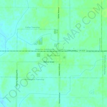
Name: Duncombe topographic map, elevation, terrain.

Location: Duncombe, Webster County, Iowa, United States (42.46293 -94.01954 42.47929 -93.97094)

Average elevation: 337 m

Minimum elevation: 332 m

Maximum elevation: 341 m

Other topographic maps

Click on a map to view its topography, its elevation and its terrain.

Tara

United States > Iowa > Webster County

Average elevation: 347 m

Fort Dodge

United States > Iowa > Webster County > Fort Dodge > Fort Dodge

Average elevation: 344 m

Gear up for your next adventure:

🧰Multitool Knife - Compact and versatile tool for outdoor use
👟Leg Gaiters - Keep debris, mud, and snow out of your boots
🚲Bike Repair Kit - Essential tools for on-trail mechanical issues
🧦Merino Wool Socks - Moisture-wicking comfort for long-distance hiking
📷Outdoor Action Camera - Capture high-elevation views and rugged adventures

As an Amazon Associate, this site earns from qualifying purchases at no extra cost to you.