Geolocate

Mutomo topographic map

Click on the map to display elevation.

About this map

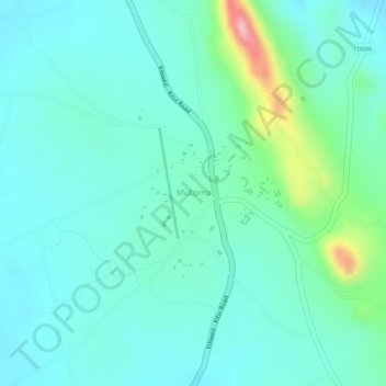
Name: Mutomo topographic map, elevation, terrain.

Location: Mutomo, Kitui South, Kitui County, Eastern, Kenya (-1.85383 38.20098 -1.84102 38.21242)

Average elevation: 904 m

Minimum elevation: 865 m

Maximum elevation: 1,038 m

Other topographic maps

Click on a map to view its topography, its elevation and its terrain.

Mutha

Kenya > Kitui County > Kitui South

Average elevation: 636 m

Ikutha

Kenya > Kitui County > Kitui South

Average elevation: 696 m

Gear up for your next adventure:

👟Leg Gaiters - Keep debris, mud, and snow out of your boots
🔭Outdoor Binoculars - Lightweight binoculars for birdwatching and hiking
🛌Down Sleeping Bag - Superior warmth-to-weight ratio for cold nights
🥾Hiking Shorts - Breathable shorts suitable for summer hikes
🧦Outdoor Socks - Durable socks designed for hiking and outdoor sports

As an Amazon Associate, this site earns from qualifying purchases at no extra cost to you.