Geolocate

Beauford topographic map

Click on the map to display elevation.

About this map

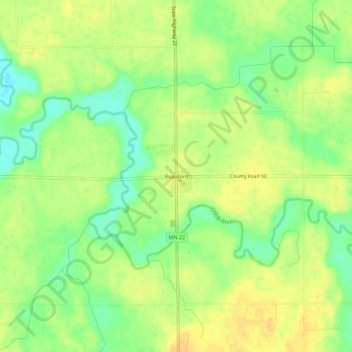
Name: Beauford topographic map, elevation, terrain.

Location: Beauford, Blue Earth County, Minnesota, United States (43.98730 -93.97845 44.02730 -93.93845)

Average elevation: 306 m

Minimum elevation: 289 m

Maximum elevation: 317 m

Other topographic maps

Click on a map to view its topography, its elevation and its terrain.

St. Clair

United States > Minnesota > Blue Earth County

Average elevation: 303 m

Amboy

United States > Minnesota > Blue Earth County

Average elevation: 318 m

Mapleton

United States > Minnesota > Blue Earth County

Average elevation: 313 m

Gear up for your next adventure:

🧦Hiking Liner Socks - Thin base layer to prevent friction and blisters
🔦LED Headtorch - Bright and durable light for night activities
🛶Kayak Dry Bag - Waterproof storage for kayaking adventures
🗺️Topographic Maps - Detailed maps to explore trails, mountains, and wilderness areas
Backpacking Tent - Lightweight tent for long-distance hiking trips

As an Amazon Associate, this site earns from qualifying purchases at no extra cost to you.