Geolocate

St. Clair topographic map

Click on the map to display elevation.

About this map

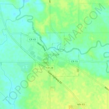
Name: St. Clair topographic map, elevation, terrain.

Location: St. Clair, Blue Earth County, Minnesota, 56080, United States (44.07643 -93.86862 44.08729 -93.84845)

Average elevation: 303 m

Minimum elevation: 294 m

Maximum elevation: 312 m

Other topographic maps

Click on a map to view its topography, its elevation and its terrain.

Benning

United States > Minnesota > Blue Earth County > Mankato

Average elevation: 257 m

Beauford

United States > Minnesota > Blue Earth County

Average elevation: 306 m

Gear up for your next adventure:

🧣Evaporative Cooling Towel - Beat the heat during intense summer climbs
🧦Hiking Liner Socks - Thin base layer to prevent friction and blisters
🛁Quick-Dry Microfiber Towel - Space-saving towel that dries rapidly on the move
🎒Hiking Backpack - Lightweight and ergonomic backpacks for day hikes or multi-day treks
🧴Insect Repellent - Protect yourself from bugs during outdoor adventures

As an Amazon Associate, this site earns from qualifying purchases at no extra cost to you.