
Mud Fork topographic map
Click on the map to display elevation.
About this map
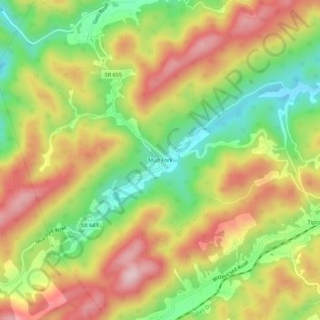
Name: Mud Fork topographic map, elevation, terrain.
Location: Mud Fork, Tazewell County, Virginia, United States (37.19873 -81.47844 37.23873 -81.43844)
Average elevation: 878 m
Minimum elevation: 734 m
Maximum elevation: 1,023 m
Other topographic maps
Click on a map to view its topography, its elevation and its terrain.