
Nazirabad topographic map
Interactive map
Click on the map to display elevation.
About this map
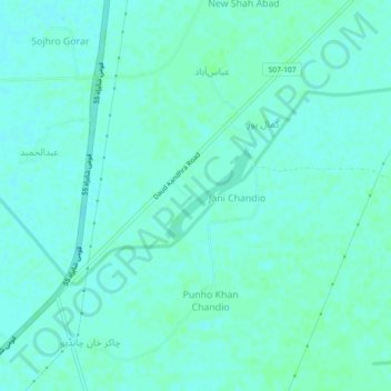
Name: Nazirabad topographic map, elevation, terrain.
Location: Nazirabad, Sindh, Pakistan (27.23408 67.89277 27.27408 67.93277)
Average elevation: 45 m
Minimum elevation: 42 m
Maximum elevation: 48 m
Other topographic maps
Click on a map to view its topography, its elevation and its terrain.
Banglore Town
Pakistan > Sindh > Karachi Division > Gulshan-e-Iqbal Town
Banglore Town, Bahadurabad, Gulshan-e-Iqbal Town, Karachi East District, Karachi Division, Sindh, 75300, Pakistan
Average elevation: 20 m
Gadap Town
Pakistan > Sindh > Karāchi District > Karachi Division
Gadap Town, Malir District, Karachi Division, Karāchi District, Sindh, Pakistan
Average elevation: 176 m
Saddar Town
Pakistan > Sindh > Karachi South District
Saddar Town, Karachi South District, Sindh, Pakistan
Average elevation: 4 m
Gulistan-e-Jauhar
Gulistan-e-Jauhar, Gulshan Town, Sindh, 75300, Pakistan
Average elevation: 37 m
Liquatabad Town
Liquatabad Town, Karachi, Karāchi District, Sindh, 75900, Pakistan
Average elevation: 25 m
Indus River
Indus River, Lab-e-Mehran Road, Old Sukkur, Sukkur, Shikārpur District, Sindh, Pakistan
Average elevation: 64 m