Geolocate

Sandspit topographic map

Click on the map to display elevation.

About this map

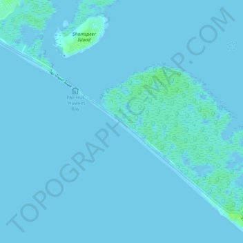
Name: Sandspit topographic map, elevation, terrain.

Location: Sandspit, کاکا پیر, Karachi, Sindh, Pakistan (24.81508 66.90170 24.84502 66.94599)

Average elevation: 1 m

Minimum elevation: -3 m

Maximum elevation: 11 m

Gear up for your next adventure:

🏕️Camping Hammock - Integrated protection for sleeping between trees
🧢Beanie Hat - Keep your head warm in cold weather
🔋Lithium AA Batteries - Long-lasting power that performs in extreme cold
🩹Compact First Aid Kit - Pre-packed essentials for common trail injuries
🧦Outdoor Socks - Durable socks designed for hiking and outdoor sports

As an Amazon Associate, this site earns from qualifying purchases at no extra cost to you.