
Suldal topographic map
Click on the map to display elevation.
About this map
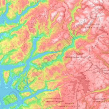
Name: Suldal topographic map, elevation, terrain.
Location: Suldal, Rogaland, Norway (59.30127 5.87436 59.78278 7.21467)
Average elevation: 737 m
Minimum elevation: -2 m
Maximum elevation: 1,649 m
Other topographic maps
Click on a map to view its topography, its elevation and its terrain.