
Aride Island topographic map
Interactive map
Click on the map to display elevation.
About this map
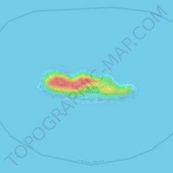
Name: Aride Island topographic map, elevation, terrain.
Location: Aride Island, Victoria, Seychelles (-4.21500 55.65887 -4.20981 55.67456)
Average elevation: 3 m
Minimum elevation: -10 m
Maximum elevation: 95 m
Other topographic maps
Click on a map to view its topography, its elevation and its terrain.