
Saint-Anne topographic map
Interactive map
Click on the map to display elevation.
About this map
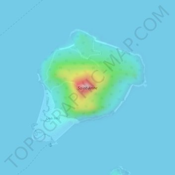
Name: Saint-Anne topographic map, elevation, terrain.
Location: Saint-Anne, Victoria, Seychelles (-4.61503 55.49561 -4.59686 55.51347)
Average elevation: 15 m
Minimum elevation: 0 m
Maximum elevation: 231 m
Other topographic maps
Click on a map to view its topography, its elevation and its terrain.