
Munar topographic map
Click on the map to display elevation.
About this map
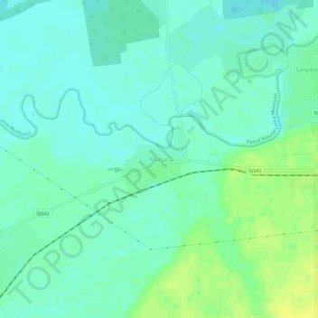
Name: Munar topographic map, elevation, terrain.
Location: Munar, Secusigiu, Arad, 317286, Romania (46.08353 20.99953 46.12353 21.03953)
Average elevation: 101 m
Minimum elevation: 94 m
Maximum elevation: 113 m
Other topographic maps
Click on a map to view its topography, its elevation and its terrain.