
Okigwe topographic map
Interactive map
Click on the map to display elevation.
About this map
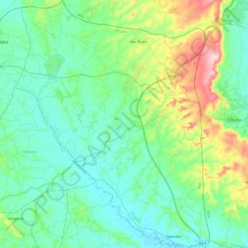
Name: Okigwe topographic map, elevation, terrain.
Location: Okigwe, Imo State, Nigeria (5.70561 7.21551 5.93893 7.40039)
Average elevation: 140 m
Minimum elevation: 70 m
Maximum elevation: 357 m
Other topographic maps
Click on a map to view its topography, its elevation and its terrain.