Geolocate

Budbrooke topographic map

Click on the map to display elevation.

About this map

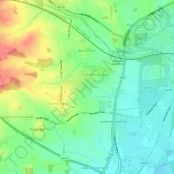
Name: Budbrooke topographic map, elevation, terrain.

Location: Budbrooke, Hampton Magna, Warwick, Warwickshire, England, United Kingdom (52.26174 -1.66361 52.29799 -1.60964)

Average elevation: 71 m

Minimum elevation: 44 m

Maximum elevation: 118 m

Other topographic maps

Click on a map to view its topography, its elevation and its terrain.

Catchem's End

United Kingdom > England > Warwickshire > Warwick > Hatton

Average elevation: 98 m

Leek Wootton

United Kingdom > England > Warwickshire > Warwick

Average elevation: 76 m

Haseley Knob

United Kingdom > England > Warwickshire > Warwick > Wroxall

Average elevation: 117 m

Gear up for your next adventure:

🧢Outdoor Visor - Breathable visor for sunny hikes
🧥Softshell Jacket - Windproof and breathable jacket for hiking
🏕️Camping Hammock - Integrated protection for sleeping between trees
🪜Heavy Duty Carabiners - Multi-use clips for securing gear to your backpack
🥾Trail Running Shoes - Lightweight and durable shoes for trail running

As an Amazon Associate, this site earns from qualifying purchases at no extra cost to you.