Geolocate

Fife Lake topographic map

Click on the map to display elevation.

About this map

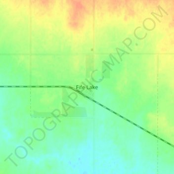
Name: Fife Lake topographic map, elevation, terrain.

Location: Fife Lake, Division No. 3, Saskatchewan, S0H 1N0, Canada (49.17494 -105.74976 49.21494 -105.70976)

Average elevation: 810 m

Minimum elevation: 794 m

Maximum elevation: 831 m

Division No. 3 trails, hiking, mountain biking, running and outdoor activities

Other topographic maps

Click on a map to view its topography, its elevation and its terrain.

Rockglen

Canada > Saskatchewan > Division No. 3

Average elevation: 844 m

Mossbank

Canada > Saskatchewan > Division No. 3

Average elevation: 703 m

Mankota No. 45

Canada > Saskatchewan > Division No. 3

Average elevation: 859 m

Gear up for your next adventure:

Lightweight Camping Tent - Portable shelter optimized for Canadian backcountry camping
👟Trail Running Shoes - Agile footwear for fast-paced topographic exploration
📷Outdoor Action Camera - Capture high-elevation views and rugged adventures
🪜Heavy Duty Carabiners - Multi-use clips for securing gear to your backpack
🧥Thermal Fleece Jacket - Versatile insulation for changing mountain temperatures

As an Amazon Associate, this site earns from qualifying purchases at no extra cost to you.