
Rockglen topographic map
Click on the map to display elevation.
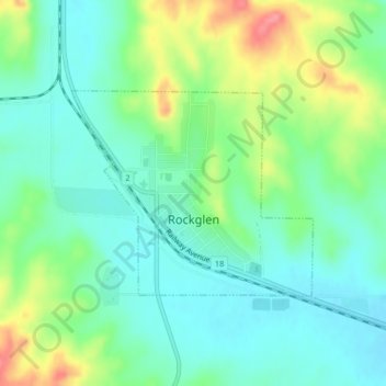
About this map
Name: Rockglen topographic map, elevation, terrain.
Location: Rockglen, Division No. 3, Saskatchewan, S0H 3R0, Canada (49.17402 -105.96031 49.18838 -105.93448)
Average elevation: 844 m
Minimum elevation: 817 m
Maximum elevation: 904 m
Division No. 3 trails, hiking, mountain biking, running and outdoor activities
Other topographic maps
Click on a map to view its topography, its elevation and its terrain.