Geolocate

Mossbank topographic map

Click on the map to display elevation.

About this map

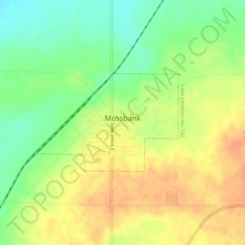
Name: Mossbank topographic map, elevation, terrain.

Location: Mossbank, Division No. 3, Saskatchewan, S0H 3G0, Canada (49.93425 -105.97781 49.94505 -105.95305)

Average elevation: 703 m

Minimum elevation: 680 m

Maximum elevation: 722 m

Division No. 3 trails, hiking, mountain biking, running and outdoor activities

Other topographic maps

Click on a map to view its topography, its elevation and its terrain.

Fife Lake

Canada > Saskatchewan > Division No. 3

Average elevation: 810 m

Gear up for your next adventure:

Family Camping Tent - Spacious tent suitable for family camping trips
👟Trail Running Shoes - Agile footwear for fast-paced topographic exploration
🥾Trekking Poles - Adjustable trekking poles to reduce knee stress and improve stability
🛁Quick-Dry Microfiber Towel - Space-saving towel that dries rapidly on the move
🧭Orienteering Kit - Tools for map reading and navigation in the wild

As an Amazon Associate, this site earns from qualifying purchases at no extra cost to you.