Geolocate

Highway topographic map

Click on the map to display elevation.

About this map
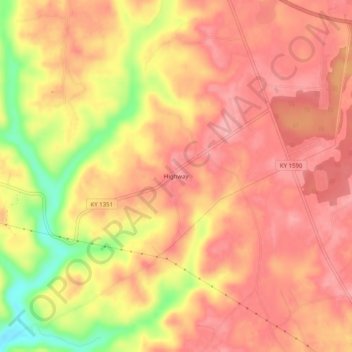
Name: Highway topographic map, elevation, terrain.

Location: Highway, Clinton County, Kentucky, United States (36.71840 -85.22885 36.75840 -85.18885)

Average elevation: 287 m

Minimum elevation: 211 m

Maximum elevation: 319 m

Gear up for your next adventure:

🏃Hydration Running Vest - Carry water and maps close to your body for speed
🩹Compact First Aid Kit - Pre-packed essentials for common trail injuries
🗺️Topographic Maps - Detailed maps to explore trails, mountains, and wilderness areas
🥾Trail Running Boots - Durable shoes designed for trail running
🧳Compression Sacks - Maximize space in your backpack by shrinking gear

As an Amazon Associate, this site earns from qualifying purchases at no extra cost to you.