Geolocate

Cluny topographic map

Click on the map to display elevation.

About this map

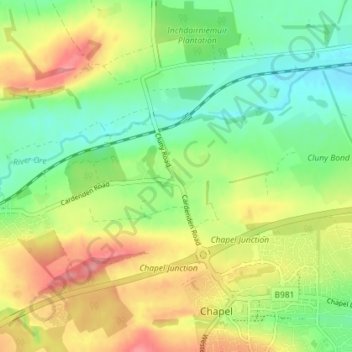
Name: Cluny topographic map, elevation, terrain.

Location: Cluny, Cardenden, Fife, Scotland, KY2 6QS, United Kingdom (56.12717 -3.23520 56.16717 -3.19520)

Average elevation: 90 m

Minimum elevation: 52 m

Maximum elevation: 142 m

Gear up for your next adventure:

🥾Mountain Hiking Boots - High-traction boots for rocky terrain
🧤Rechargeable Heated Gloves - Extreme warmth for Canadian winter expeditions
🧢Beanie Hat - Keep your head warm in cold weather
🕶️Polarized Sunglasses - Reduces glare from snow and water at high elevations
🥾Mountain Hiking Shoes - Shoes with superior grip for mountainous terrain

As an Amazon Associate, this site earns from qualifying purchases at no extra cost to you.