Geolocate

Little Heath topographic map

Click on the map to display elevation.

About this map

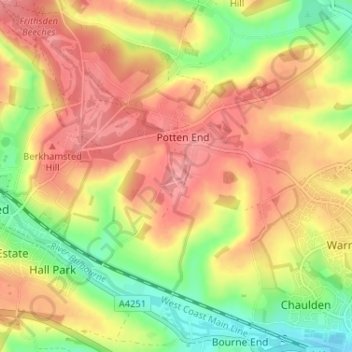
Name: Little Heath topographic map, elevation, terrain.

Location: Little Heath, Nettleden with Potten End, Potten End, Dacorum, Hertfordshire, England, HP4 2RX, United Kingdom (51.74450 -0.54754 51.78450 -0.50754)

Average elevation: 138 m

Minimum elevation: 86 m

Maximum elevation: 178 m

Other topographic maps

Click on a map to view its topography, its elevation and its terrain.

Gear up for your next adventure:

💡LED Headlamp - Hands-free illumination for night hiking and camping
🥤Collapsible Travel Cup - Saves space and weight in your mess kit
💧Filtered Water Bottle - Safe drinking water on the go
👖Convertible Hiking Pants - Zip-off legs to adapt to changing weather conditions
🧴Waterproofing Spray - Restore the DWR coating on jackets and tents

As an Amazon Associate, this site earns from qualifying purchases at no extra cost to you.