Geolocate

Derryfubble topographic map

Click on the map to display elevation.

About this map

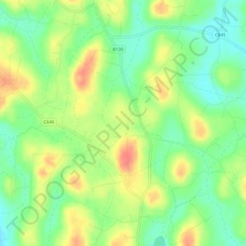
Name: Derryfubble topographic map, elevation, terrain.

Location: Derryfubble, Armagh, Northern Ireland, United Kingdom (54.43565 -6.76717 54.44723 -6.75339)

Average elevation: 63 m

Minimum elevation: 37 m

Maximum elevation: 94 m

Gear up for your next adventure:

🧥Softshell Jacket - Windproof and breathable jacket for hiking
🥾Mountain Hiking Boots - High-traction boots for rocky terrain
🥾Approach Shoes - Shoes designed for climbing approaches and rugged trails
🧥Packable Rain Jacket - Breathable waterproof layer for unpredictable weather
🔭Compact Binoculars - Lightweight optics for scouting trails and wildlife

As an Amazon Associate, this site earns from qualifying purchases at no extra cost to you.