
Marsh Falls topographic map
Click on the map to display elevation.
About this map
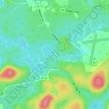
Name: Marsh Falls topographic map, elevation, terrain.
Average elevation: 338 m
Minimum elevation: 309 m
Maximum elevation: 404 m
Muskoka District trails, hiking, mountain biking, running and outdoor activities
Other topographic maps
Click on a map to view its topography, its elevation and its terrain.
Limberlost Forest and Wildlife Reserve
Canada > Ontario > Muskoka District > Lake of Bays Township
Average elevation: 400 m
Stewart Lake
Canada > Ontario > Muskoka District > Georgian Bay Township > MacTier
Average elevation: 241 m
South Branch Muskoka River;Spence Lake
Canada > Ontario > Muskoka District > Bracebridge
Average elevation: 275 m
Georgian Bay Islands National Park
Canada > Ontario > Muskoka District > Georgian Bay Township
Average elevation: 182 m